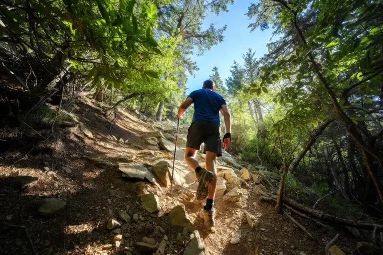
What to Do When Your Hiking Trail Disappears in Dense Forest
Losing a trail in dense forest is more common than most hikers expect. Overgrowth, blowdowns, and washed-out markers erase paths quickly, even on well-used routes. This guide covers how to recognize trail loss early, the exact steps to relocate the path, navigation methods that work under heavy canopy, and how to signal for help when all else fails. I cover this topic from prep through recovery so you leave with a complete response plan.
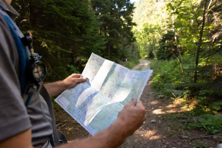
Stop the moment the trail feels uncertain. Mark your position, then backtrack to the last confirmed landmark. Use the STOP method (Stop, Think, Observe, Plan) before moving in any new direction. If you cannot relocate the trail within 10 minutes of calm searching, stay put and signal for help. A compass and printed topo map prevent most of these situations entirely.
Why Do Trails Disappear in Dense Forest?
Dense forest trails vanish for four main reasons.
Heavy rain washes away compacted soil and erases the worn path within hours. Fallen trees redirect foot traffic and push hikers off the true route. Seasonal undergrowth covers trail blazes between late spring and early autumn. Poor or infrequent cairn placement leaves gaps longer than 50 feet, which is enough for visibility to fail.
Understanding the cause helps you predict where trail loss happens. Gullies, ridgeline crossings, and post-storm sections are the most common break points.
Learn more: Hike Uphill Without Losing Energy Too Fast
How Do You Know the Trail Is Actually Gone?
Catching trail loss early cuts the risk by half. These signs appear before full disorientation sets in.
- No visible blaze, cairn, or cut log for 2 to 3 minutes of walking
- Ground vegetation is uniform with no worn soil underfoot
- Tree density increases without any natural clearing
- The last 5 minutes of walking felt uncertain but you kept going
Stop at the first sign. Moving forward doubles the recovery distance.
What Is the STOP Method and Why Does It Work?
STOP is a wilderness response framework used by search and rescue (SAR) teams in forest emergencies.
- Stop – Sit down and stay in position
- Think – Recall your last confirmed landmark or trail blaze
- Observe – Note sun position, slope direction, and any water sounds
- Plan – Choose one specific action before moving a single step
SAR teams consistently find that hikers who use STOP are located faster than hikers who move randomly. Stationary hikers produce a smaller, more searchable area.
Step-by-Step: How to Relocate a Lost Trail in Dense Forest
Step 1: Mark Your Current Position
Tie bright fabric or flagging tape to a tree at eye level before you move. This reference point anchors your search. Never leave it without a clear direction in mind.
Step 2: Backtrack to the Last Known Point
Turn 180 degrees and return slowly along your approach. Watch for:
- Compressed leaf litter or worn soil
- Broken branches at knee height
- Trail blazes cut into tree bark
Backtracking works about 70% of the time when hikers act within the first 5 minutes of trail loss.
Step 3: Search in an Expanding Circle
When backtracking does not locate the path, use a circular search from your marked tree.
Walk 20 feet outward in one direction. Return to the marker. Walk 20 feet in a new direction at a different angle. Expand the radius by 10 feet on each pass. This method covers ground without losing your reference.
Step 4: Read the Terrain
Trails follow predictable terrain patterns. They avoid steep slopes, parallel ridgelines, and run near water crossings.
Walk slowly downhill toward any water sound. Follow a ridgeline to where trail maintenance is most likely. Avoid dense gullies, which collect debris and mislead direction.
I covered the full approach to reading terrain for navigation in dense forest in a separate article if you want the complete method.
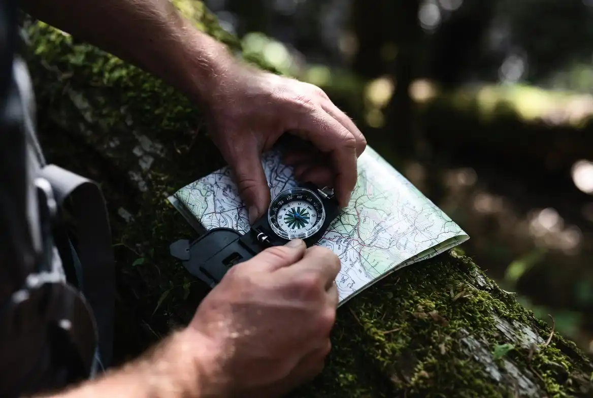
Step 5: Use Your Compass to Maintain Direction
A compass gives bearing, not location. Use it to:
- Hold a straight line while searching (hikers without a compass circle within a 100-meter radius)
- Maintain a bearing toward a known exit (trailhead, road, or river)
- Confirm you are not doubling back
Set your bearing before you leave the marked tree. Check it every 5 minutes.
Step 6: Decide Whether to Stay or Move
Stay in place when:
- Less than 2 hours of daylight remain
- You carry signaling equipment
- Your emergency contact knows your route
Move when:
- You have a confirmed compass bearing to a known exit
- Adequate daylight remains for the distance
- Terrain ahead is manageable and visible on your map
For a broader look at decision-making when you are fully disoriented, I covered this in detail in my article on what to do when you get lost on a hike.
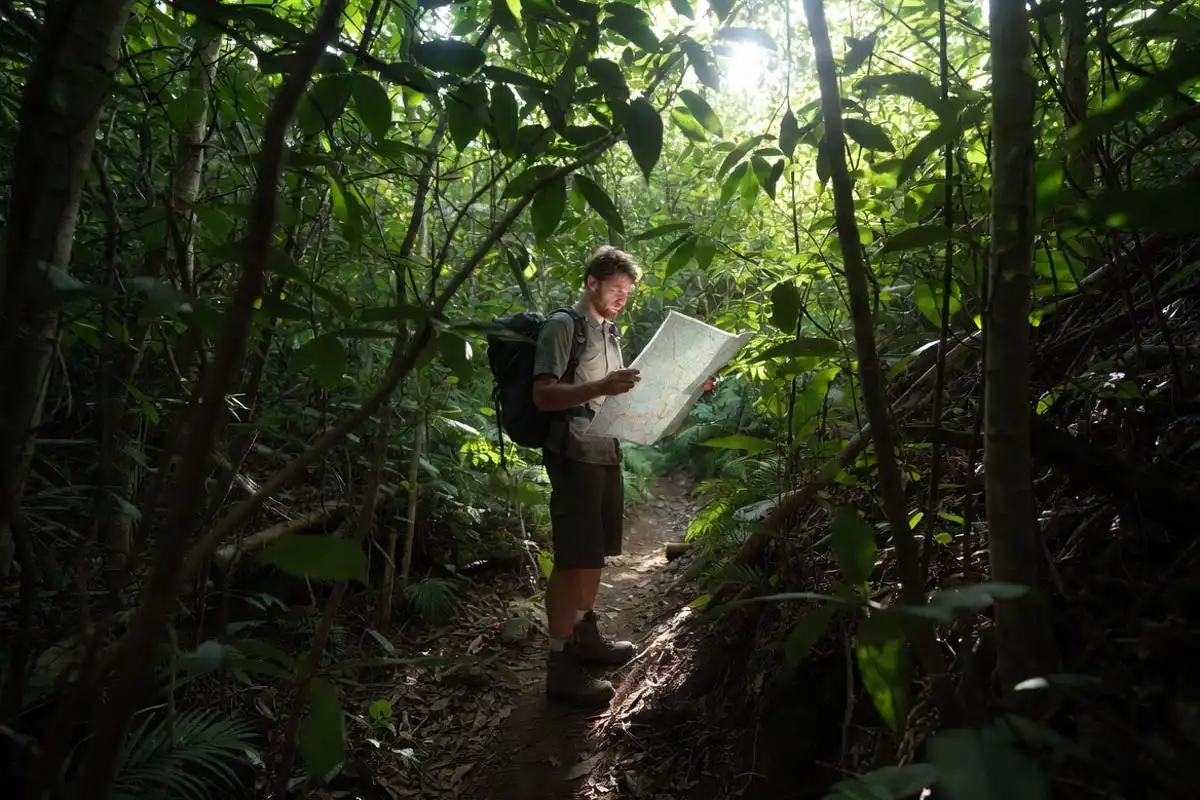
What Navigation Tools Work Under Heavy Canopy?
Phone GPS loses accuracy under dense canopy because satellite signals reflect off branches. These tools perform better.
| Tool | Why It Works |
|---|---|
| Topographic map | Shows ridges, valleys, and water matching your surroundings |
| Baseplate compass | Works without battery, signal, or satellite |
| Offline GPS app (Gaia GPS, AllTrails) | Downloaded maps function without cell service |
| Altimeter watch | Matches current elevation to topo contour lines |
I carry a printed topo map and a baseplate compass on every dense forest hike. Offline maps on a phone stay in airplane mode with GPS active only when I need a position check.
How Do You Signal for Help If the Trail Cannot Be Found?
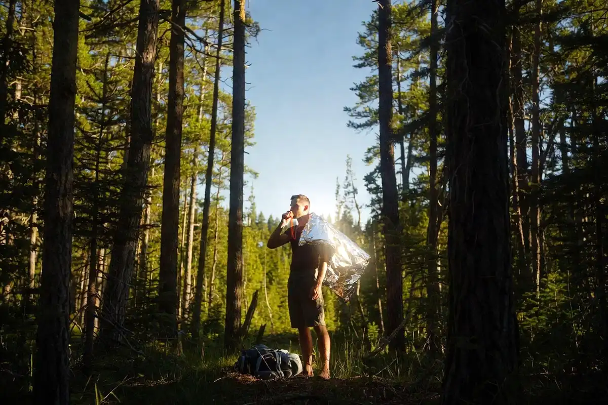
If an hour of searching produces no trail, stop moving and signal. Active searching past this point extends your distance from the last known location.
- Blow a whistle in 3 short blasts, which is the universal distress signal
- Use a signal mirror or emergency foil blanket to reflect sunlight toward open sky
- Build a small smoky fire in a clearing (only when conditions are safe and dry enough to control)
- Call or text emergency services if any cell signal exists, even one bar
I wrote a detailed breakdown of signaling for help in the backcountry that covers each method with distance and visibility data.
What Mistakes Make Trail Loss Worse?
These errors turn a recoverable situation into a serious one.
Moving fast after the trail disappears. Hikers cover 0.5 to 1 mile of off-trail distance in 20 minutes. Every step adds search area.
Following animal tracks. Animal paths do not lead to trailheads. They lead to water, food, and dens.
Relying entirely on phone GPS. Battery drains faster under heavy canopy because the phone works harder to acquire satellites.
Separating from your group. One person covering one direction makes two lost people instead of one problem.
Continuing forward because turning back feels wrong. Backtracking is a skill, not a failure. It is the highest-percentage action in the first 10 minutes of trail loss.
How to Prepare Before the Hike to Prevent This
Prevention reduces this situation from an emergency to a brief pause. Before every dense forest hike I do these four things.
- Study the topo map and identify 2 to 3 terrain anchors such as a ridgeline, river, or road
- Download offline maps for the specific trail area before leaving cell service
- Share my exact route and expected return time with someone reliable
- Check recent trail reports for blowdowns, washouts, or reroutes
I covered the full pre-hike planning process in my guide on planning a day hike to avoid getting lost.
What Should You Carry for Dense Forest Hiking?
These items directly address trail loss. Each one earns its weight.
- Topographic map (printed, waterproofed)
- Baseplate compass
- Bright flagging tape or trail markers
- Whistle and signal mirror
- Phone with offline map downloaded and 80%+ battery
- Emergency bivy or lightweight shelter
FAQs
What is the first thing to do when you lose the trail in the forest?
Stop immediately and do not move forward. Sit down, recall your last confirmed landmark, and mark your current position with bright tape on a nearby tree. Use the STOP method before taking any action.
Should you follow water downstream if lost in a dense forest?
Water moves toward lower ground and sometimes toward roads or settlements, but rivers in dense forest can enter gorges and swamps. Follow water only when your topo map confirms it leads to an accessible exit. Never follow water without map confirmation.
How long should you search before staying put and calling for help?
Stop active searching after 60 minutes of failed relocation attempts. Signal and stay in place. SAR teams locate stationary hikers faster because the search radius stops growing. Call emergency services as soon as any signal is available.
What offline navigation app works best in dense forest?
Gaia GPS and AllTrails both support offline map downloads before you leave cell service. Gaia GPS provides better topo detail for off-trail forest use. Keep the phone in airplane mode and activate GPS only when checking your position to preserve battery.
Can you navigate by the sun in dense forest?
Partially. The sun moves from east to west and sits roughly south at midday in the Northern Hemisphere. In dense canopy, sunlight is often too filtered for accurate direction. A compass provides reliable bearing data where sunlight fails.
Conclusion
A disappearing trail in dense forest becomes manageable the moment you stop moving. Mark your position, backtrack calmly, read the terrain, and use a compass to stay oriented.
Preparation before the hike, which includes a printed topo map, a baseplate compass, and a downloaded offline map, reduces this situation to a solvable problem rather than an emergency. The forest always gives you information. Stop, look, and use it.