How High Is Mount Everest Base Camp? Exact Elevation in Feet & Meters
I’ve been fascinated by Everest since my first overnight in the Bandarban hills, and the more I’ve talked with trekkers who’ve actually done the route, the more I’ve noticed how often the height gets misquoted online. So I dug through the numbers and pulled together a clear answer. This piece gives you the exact elevation of Mount Everest Base Camp, why two heights exist, what that altitude feels like on the trail, and how to prepare for thin air before you ever set foot in Lukla.
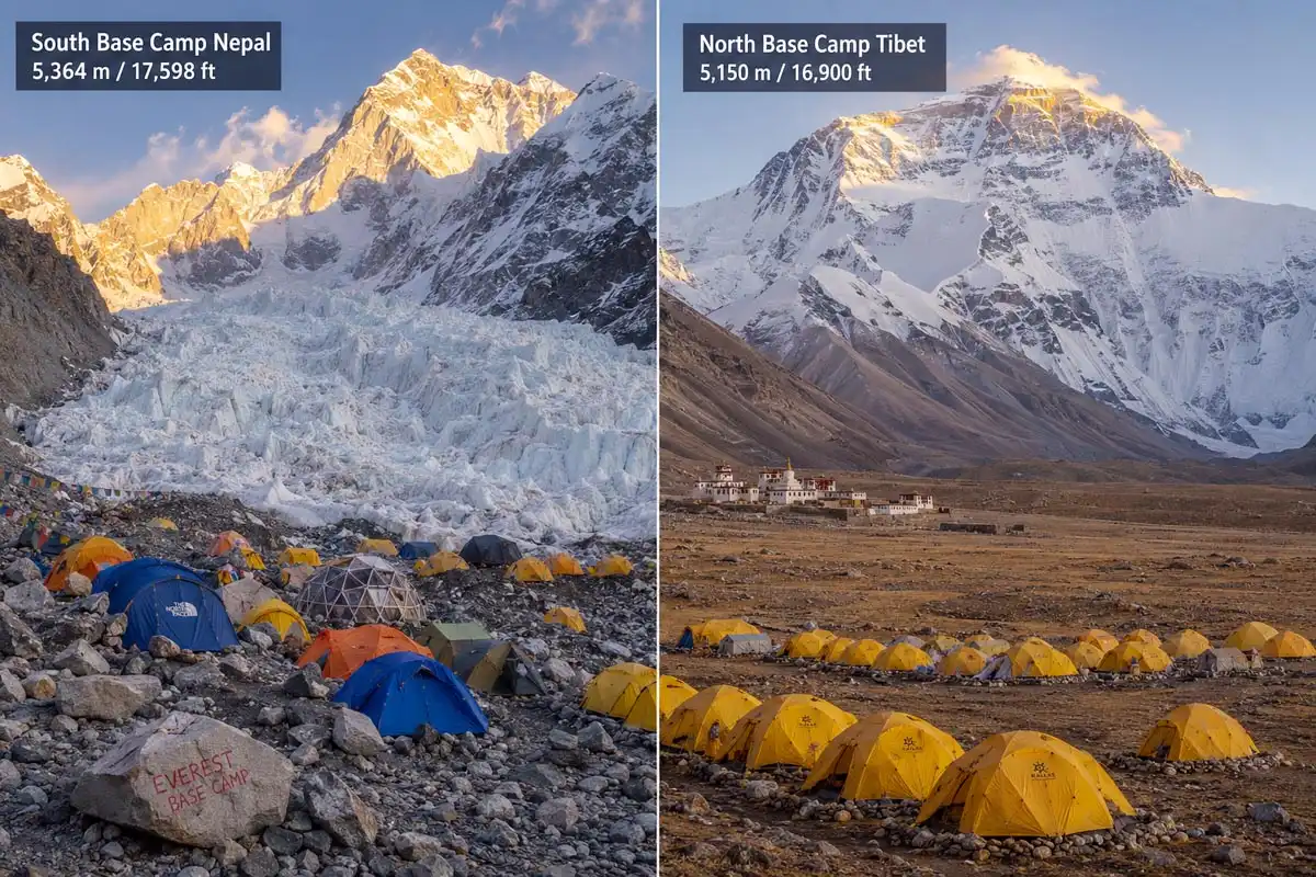
Mount Everest Base Camp sits at two different elevations because there are two base camps. The South Base Camp in Nepal stands at 5,364 meters (17,598 feet) above sea level. On the other side, the North Base Camp in Tibet sits slightly lower at 5,150 meters (16,900 feet). Most people who say “Everest Base Camp” mean the South side, since that’s where the classic trek ends and where most summit expeditions stage their climb.
South Base Camp height in Nepal
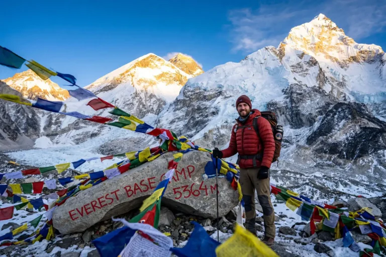
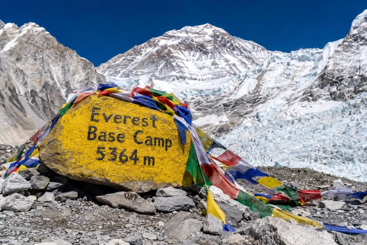
The South Base Camp sits inside Sagarmatha National Park in Nepal’s Khumbu region. At 5,364 meters, it stands roughly 3,485 meters below the Everest summit (8,848.86 meters). That’s still over 11,400 vertical feet of mountain looming above you when you arrive.
The site itself isn’t a permanent settlement. Tents go up during the spring and autumn climbing windows, then come down. So when trekkers walk in, they’re often stepping onto the bare Khumbu Glacier moraine rather than a busy camp. The “Everest Base Camp” boulder and prayer flags mark the spot for photos.
For context, 5,364 meters is higher than every peak in the European Alps. Mont Blanc, the tallest in Western Europe, tops out at 4,808 meters. So you’re literally standing on ground higher than any non-Himalayan summit most travelers have ever heard of.
North Base Camp height in Tibet
The North Base Camp sits at 5,150 meters (16,900 feet) on the Tibetan side, near the Rongbuk Monastery and Rongbuk Glacier. It’s 214 meters lower than the South side. Unlike its Nepali counterpart, you can reach it by paved road, which makes it accessible to regular travelers, not just trekkers.
That road access changes the experience completely. Tourists drive in, spend a few hours, and drive back down. Because there’s no multi-day acclimatization, altitude sickness still hits plenty of visitors here despite the lower number.
Why the two base camps differ in elevation
The two camps differ because Mount Everest sits on the Nepal-China border, and climbers approach the summit from opposite sides. The South Col route (Nepal) and the North Col route (Tibet) start from completely different sides of the mountain, and the terrain on each side dictated where camps could be safely placed during the early expeditions.
In fact, the South Base Camp location traces back to 1953, when Edmund Hillary and Tenzing Norgay set up their staging camp there during the first successful summit. So trekkers today are walking to the spot where modern Everest mountaineering began.
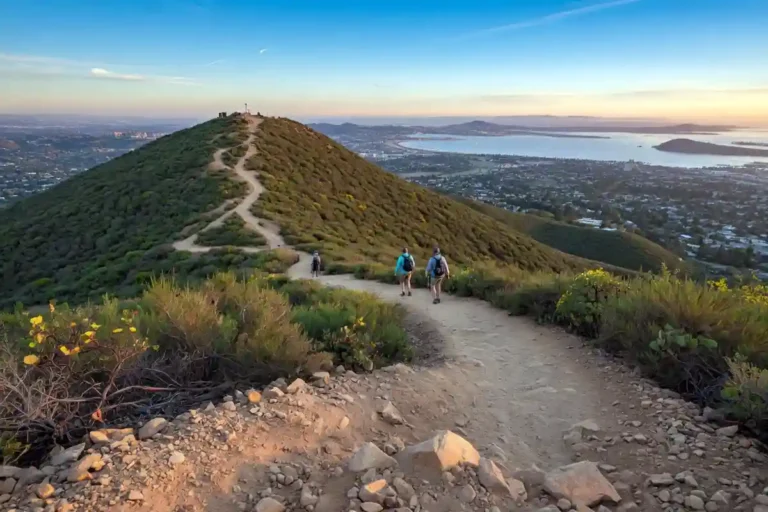
How the altitude compares to the rest of the trek
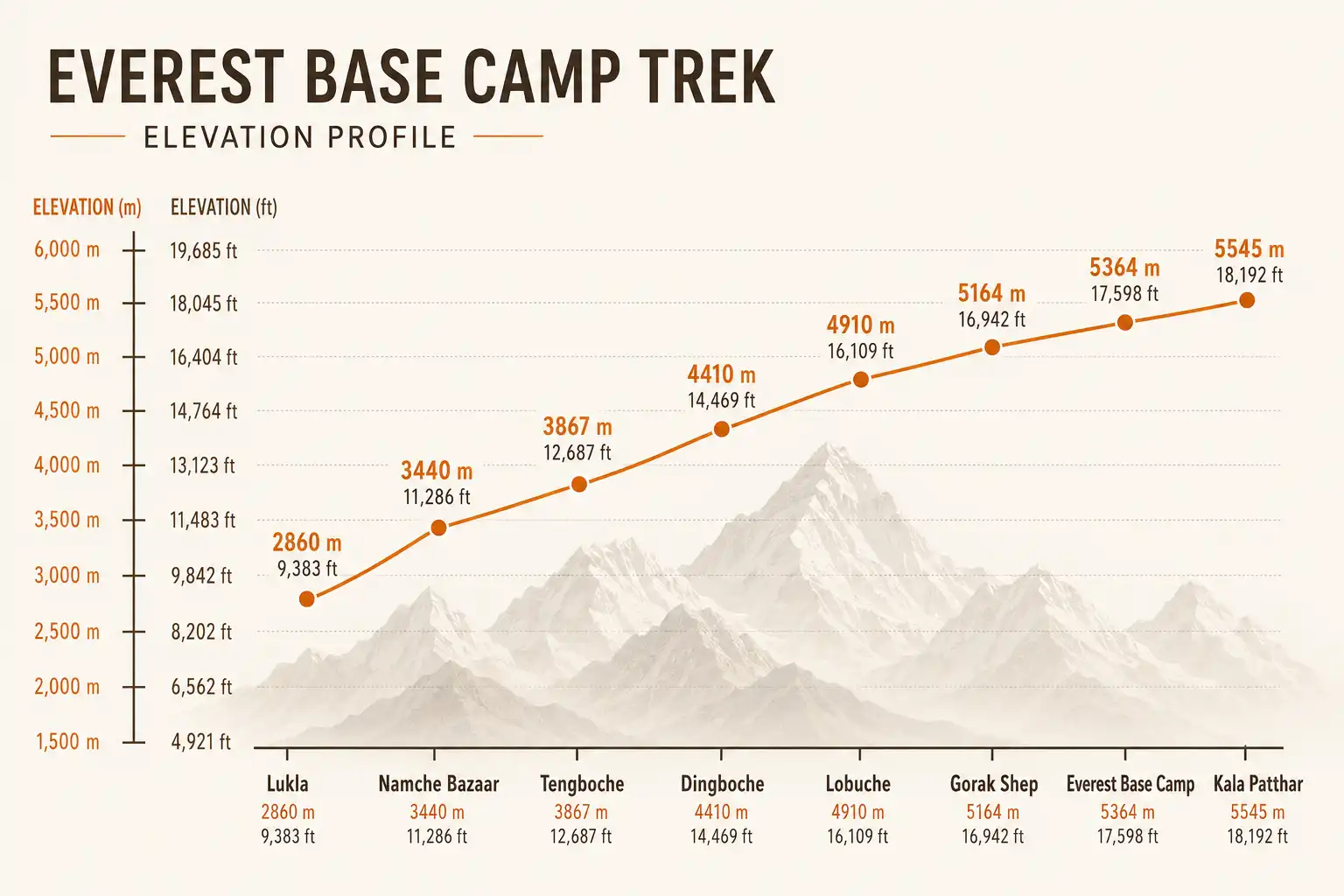
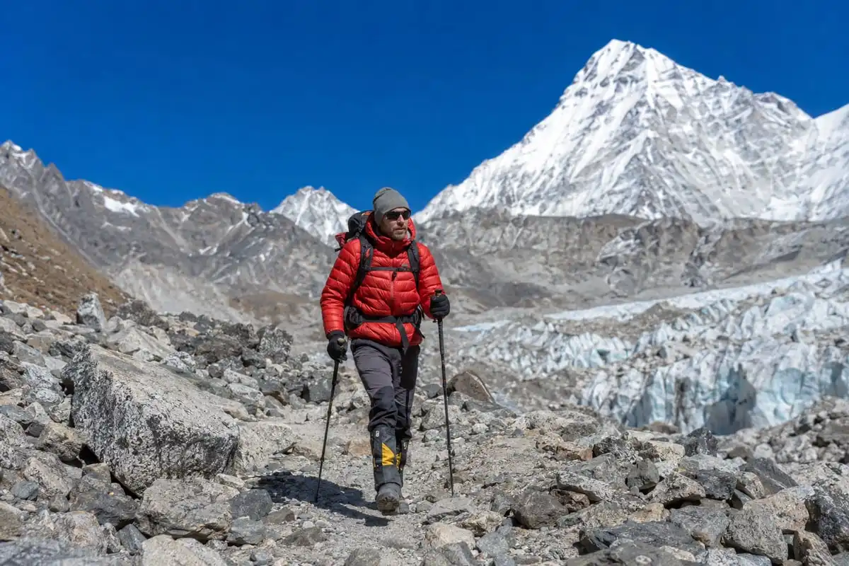
The EBC trek doesn’t start anywhere near 5,364 meters. Instead, it begins in Lukla at 2,860 meters (9,383 feet) after a short flight from Kathmandu. After that, the full route gains about 2,500 vertical meters across roughly 8 to 12 days.
Here are the key elevation markers along the South route:
- Lukla: 2,860 m / 9,383 ft
- Namche Bazaar: 3,440 m / 11,286 ft
- Tengboche: 3,867 m / 12,687 ft
- Dingboche: 4,410 m / 14,469 ft
- Lobuche: 4,910 m / 16,108 ft
- Gorak Shep: 5,164 m / 16,942 ft
- Everest Base Camp: 5,364 m / 17,598 ft
- Kala Patthar viewpoint: ~5,545 m / 18,192 ft
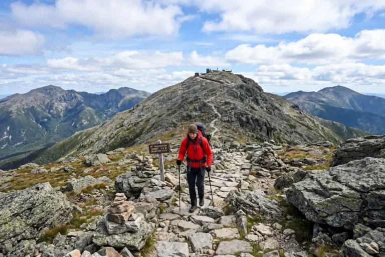
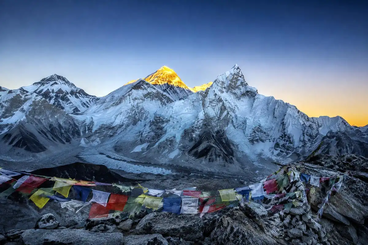
Kala Patthar is the highest point most trekkers reach on the EBC route. It sits about 180 meters above Base Camp itself and offers the clearest view of Everest’s summit, because from EBC, Nuptse actually blocks the direct view of the summit. So most photographers climb Kala Patthar at sunrise instead. If you want context on what those numbers mean, my piece on what counts as serious elevation gain for hiking puts these climbs in perspective.
What 5,364 meters feels like on your body
At 5,364 meters, atmospheric pressure drops to roughly 50% of sea level. You’re inhaling the same air, but each breath delivers about half the oxygen molecules you’d get at the coast. Therefore, a slow walk feels like a hard run, and sleeping is rough at this elevation.
Between 4,500 and 5,400 meters, most trekkers notice headaches, mild nausea, broken sleep, breathlessness on flat ground, and a poor appetite. The CDC classifies anything above 4,500 meters as “very high altitude,” and EBC sits well into that zone. For official guidance, I recommend reading the CDC’s high elevation travel and altitude illness page before booking anything.
In addition, Acute Mountain Sickness (AMS), High Altitude Pulmonary Edema (HAPE), and High Altitude Cerebral Edema (HACE) are real risks above 4,000 meters. The best defenses are slow ascent, hydration, rest days, and immediate descent if symptoms escalate. Diamox can help, but most trekkers do well with proper acclimatization alone.
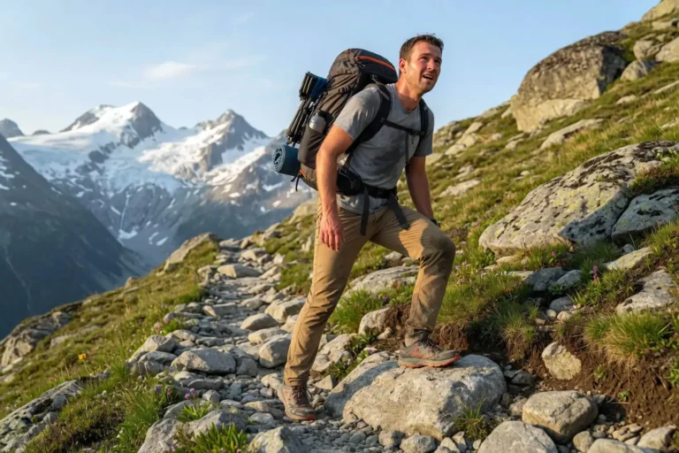
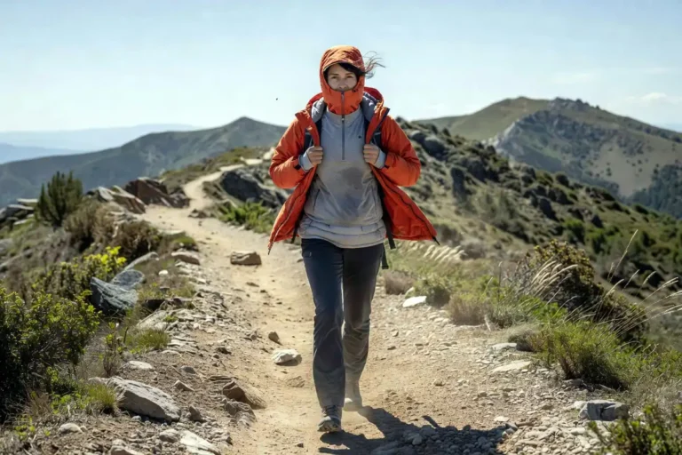
How to prepare physically
Preparing for EBC altitude isn’t only cardio. You also need leg endurance, a strong core, and the ability to hike 5 to 8 hours daily with a small pack for nearly two weeks. I cover similar prep ideas in my guide to preparing physically for a Himalayan trek like Kedarnath, since the demands overlap closely.
A few weeks before, also test your boots on long walks. Stiff new footwear at 5,000 meters will end your trip fast. My write-up on breaking in new hiking boots walks through the process. For pacing on long uphill days, also see my notes on hiking uphill without burning out.
Gear that matters at this altitude
Cold and UV intensity climb sharply with altitude. The sun at 5,364 meters is brutal because thinner air filters less UV. Therefore, sunglasses with side coverage, lip balm with SPF, and proper sunscreen are non-negotiable. My article on choosing sunscreen for high altitude trekking explains why standard SPF 30 isn’t enough up there.
Layering matters just as much. Temperatures at EBC swing from sunny mid-day warmth to deep below freezing after dark. So a solid layering setup for cold wind on trail keeps you functional during cold dawn starts to Kala Patthar.
Can you reach EBC without trekking?
Yes. Helicopter tours from Kathmandu or Lukla land at or near Base Camp, usually with a brief stop at Kala Patthar or a nearby helipad. However, the flight cuts the experience to a single day with almost no acclimatization, so altitude effects hit harder. Many operators bring supplemental oxygen for passengers because of this.
Final takeaway
So, how high is Mount Everest Base Camp? On the Nepal side, 5,364 meters or 17,598 feet. On the Tibet side, 5,150 meters or 16,900 feet. Trekkers usually mean the South side, where the classic 8 to 12 day route ends. That altitude puts you above half of Earth’s atmosphere by pressure, which is what makes the trek hard, beautiful, and genuinely transformative. Plan slow, train your legs, respect the thin air, and you’ll get there in one piece.