How to Keep Your Bearings When Hiking Into Unfamiliar Terrain
You are hiking into unfamiliar terrain. What is the best way to keep your bearings? It is one of the best feelings in the outdoors to walk ground you’ve never seen before, but it can turn ugly fast if you lose track of where you are. I’ve felt that small panic on a misty ridge in Bandarban when the trail thinned out and every tree looked identical. Keeping your bearings is not about fancy gear. Instead, it comes down to a few simple habits you can build on every hike. This guide walks through what actually works, based on what older campers taught me in the Rangamati hills and what I’ve practiced ever since.
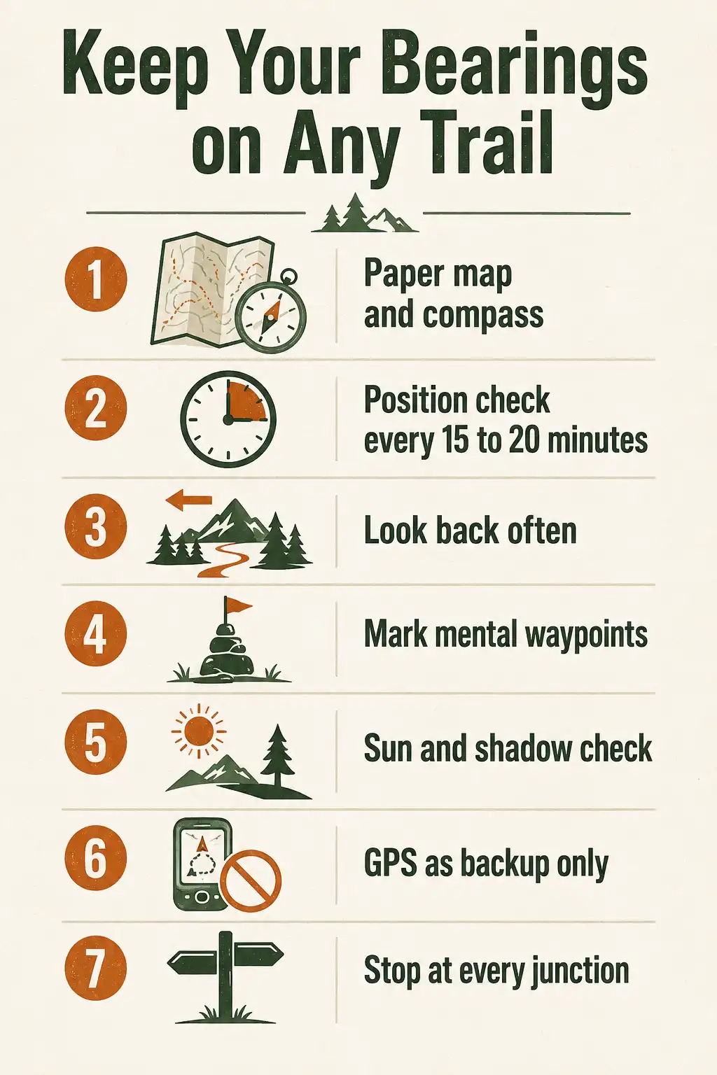
The best way to keep your bearings in unfamiliar terrain is to combine a topographic map and compass with constant terrain awareness. Check your position every 15 to 20 minutes, note clear landmarks behind you, track your pace and time, and never trust a single tool alone. GPS helps, but it should support your map work, not replace it.
What does keeping your bearings mean on a hike?
Keeping your bearings means knowing where you are, which direction you came from, and which way you need to go next. It is situational awareness for hikers. You do not need to pinpoint yourself on a map every minute. Instead, you just need to know enough at any moment that you could find your way back if something went wrong.
Carry a topo map and compass, and actually use them
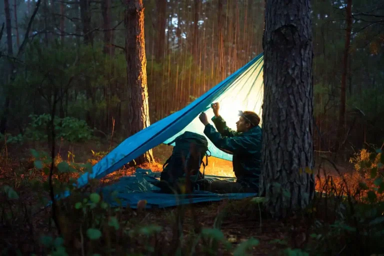
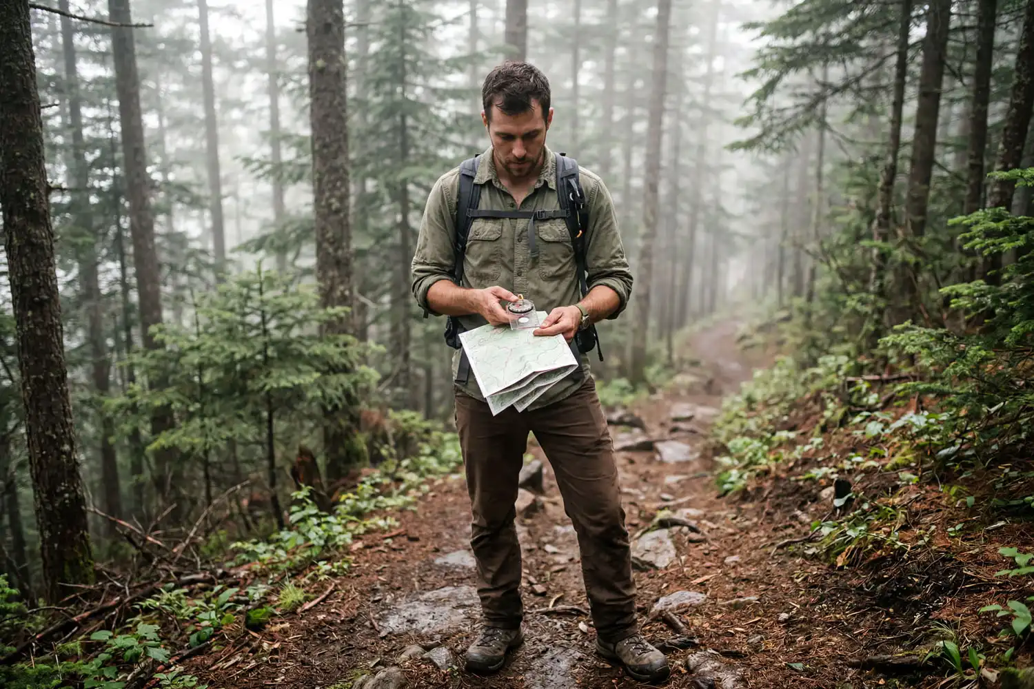
A paper topographic map and a baseplate compass are still the most reliable tools for navigation. Batteries die. Phones get wet. However, a folded map in a zip-top bag keeps working in any weather. Before the hike, I sit down with the map and trace the route with my finger. Then I note three or four obvious features I will pass: a creek crossing, a ridge spur, a junction, a saddle. Once on trail, I check the map at every one of those features. That habit alone has saved me more than once.
For the compass, learn one skill before anything else: how to take a bearing from your map to the terrain, and how to follow it.
Use handrails and catching features
A “handrail” is a long, obvious feature that runs roughly parallel to your route, such as a river, a ridge, a road, or a power line. As long as you can see or hear it, you know which side of your route you are on. A “catching feature” is something you cannot miss if you go too far, like a big stream, a cliff line, or a major trail crossing. If you hit it, you’ve gone past your turn. Both ideas come from orienteering, and they work anywhere in the world. I lean on river handrails a lot when walking the Sangu valley, because the water is always there as a reference.
Watch what’s behind you, not just ahead
The trail looks completely different on the return. So every 10 minutes or so, I stop and turn around fully. I look at the trees, the slope, and anything that will jog my memory if I come back this way. This is the single best habit I learned from older trekkers in Rangamati. They never walked a new ridge without pausing to check the view backward.
Track time, pace, and distance
You don’t need a GPS to know roughly how far you’ve walked. Most adults hike around 2 to 3 miles per hour on a moderate trail, slower with elevation gain. So if you started at 8 a.m. and it’s now 10 a.m., you’ve probably covered 4 to 6 miles. Combine that with your map and you can estimate your position within a reasonable range. This habit also helps you stick to a safe daily distance so you don’t end up moving after dark.
Use the sun and shadows for direction
In the Northern Hemisphere, the sun rises roughly in the east, arcs through the south, and sets in the west. At solar noon, your shadow points north. This trick is rough, but it is enough to confirm what your compass is telling you. I use it constantly on cloudy ridges when I want a quick sanity check before reaching for a tool.
Mark mental waypoints
Pick small, unmistakable features as you walk. A leaning tree. A boulder split down the middle. A switchback with a dead log across the corner. Say them out loud or note them in your head. These mental waypoints become a chain. If you ever feel turned around, you can mentally walk that chain backward and figure out where you stepped off.
Use GPS as a backup, not a leader
A GPS app on your phone is great. However, it is not enough on its own. Coverage drops in canyons and dense forest. Phones also overheat or freeze, and batteries die fastest in cold weather. So download offline maps before you leave the trailhead and carry a power bank. There’s a longer breakdown in my notes on moving through forest without satellite signal. I use GPS to confirm what my map and terrain reading already tell me, not the other way around.
Pause and check at every junction
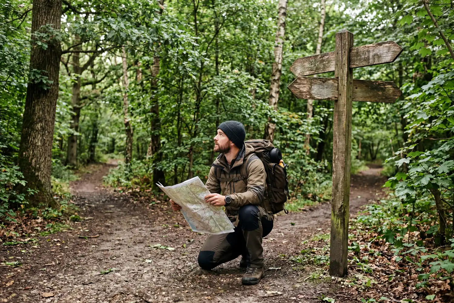
Most people get turned around at trail junctions, not in the middle of nowhere. Every junction is a decision point. Stop. Pull out the map. Read the signs. Then check your compass and look at the terrain ahead to see if it matches what the map shows. Thirty seconds at a junction can save three hours of backtracking.
What to do if you start to lose your bearings
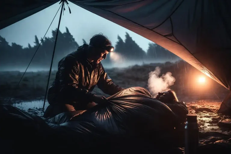
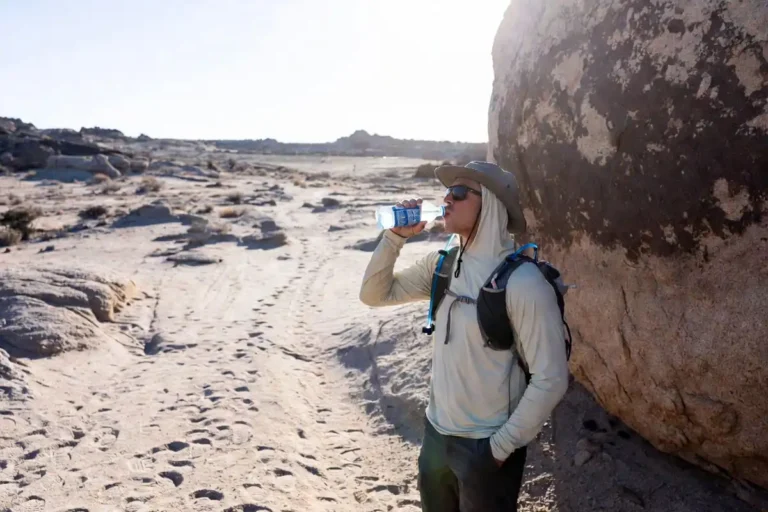
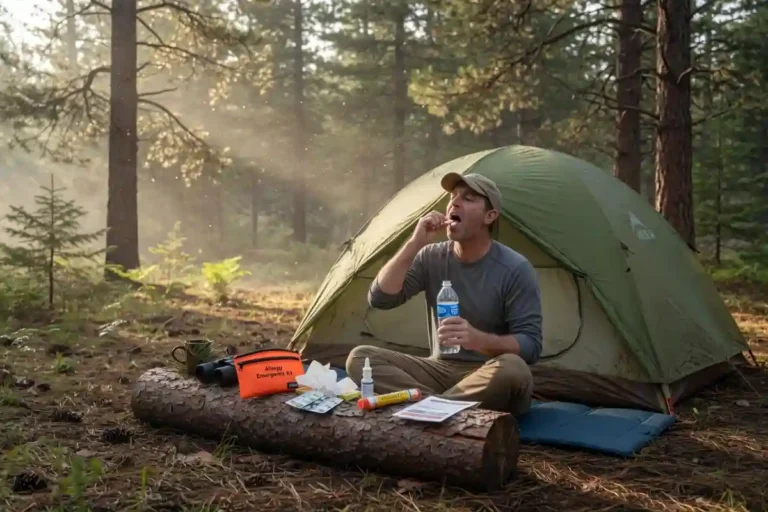
Stop moving the moment you feel unsure. The classic mistake is to keep walking and hope the trail reappears. Instead, sit down. Drink some water. Pull out your map and your last known position. Then look around for any feature you can match. If nothing matches, retrace your steps to the last point where you were certain. If you cannot retrace, stay put and read my notes on steps after losing the trail and on calling for help from the backcountry.
Plan before you step on the trail
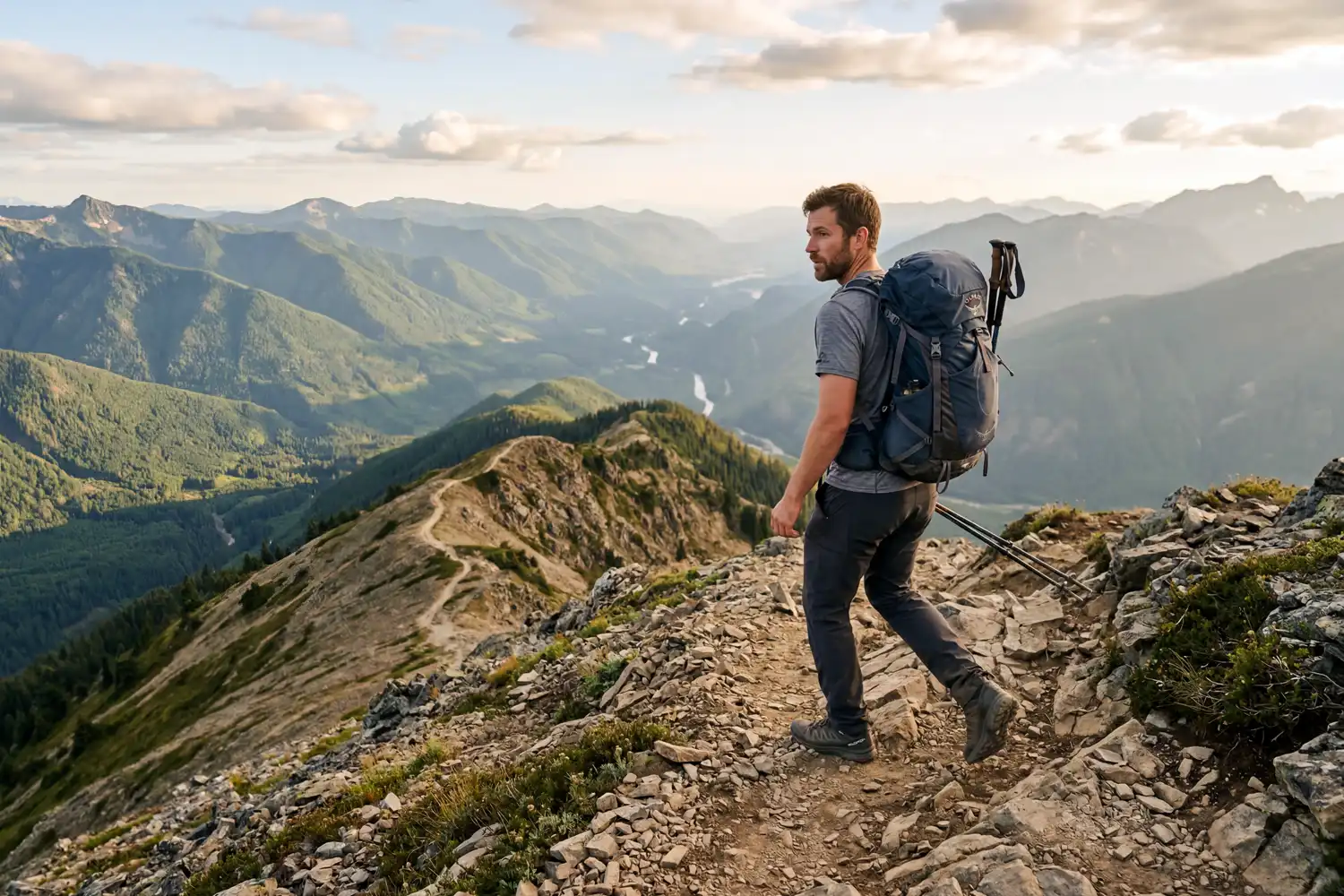
Most navigation problems start at home, not on the mountain. Study the route. Note bail-out points. Check sunset time. Also tell someone your plan and your expected return. A solid day-hike plan that prevents getting lost is worth more than any gadget you can buy.
Quick checklist for staying oriented
- Carry a paper map and compass and know how to use them.
- Check your position every 15 to 20 minutes.
- Turn around often and study the view back.
- Note 3 to 5 mental waypoints per section.
- Confirm direction with the sun when you can.
- Treat GPS as a backup, not a leader.
- Stop and re-check at every junction.
Final thoughts
Keeping your bearings in unfamiliar terrain is mostly a habit, not a skill. So pause often, look around fully, and trust your map before your phone. The hikers I trust most in the Bandarban hills are not the ones with the most gear. Instead, they are the ones who stop, study the slope, and look back over their shoulder before every junction. Build those habits on easy trails, and they will carry you safely through ground you’ve never seen before.