Mt Washington Trail Map Guide: Pick the Right Route for Your Hike

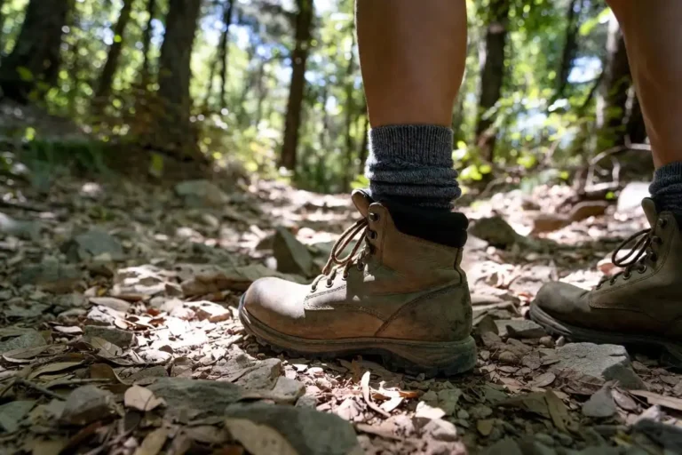
If you’re planning a climb up Mount Washington, the first thing you’ll want is a clear picture of the trail network. I’ve spent hours over the maps and reading reports from hikers who know this mountain inside out. The layout becomes much easier once you see how the trails connect. This guide walks you through every major route on Mt Washington, the trailheads you’ll start from, the elevation profiles you’ll face, and the loops most hikers prefer. By the end, you’ll know which trail fits your fitness and time budget.
Trail Map Overview
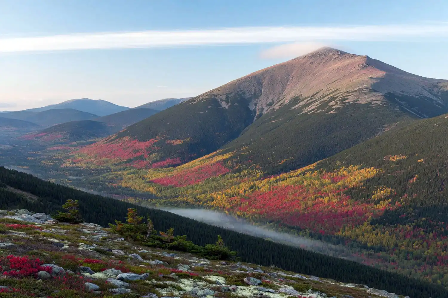
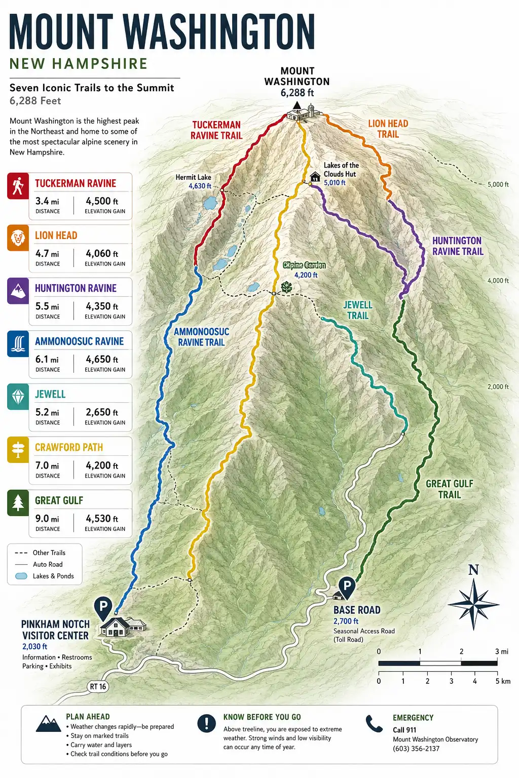
Mount Washington sits in New Hampshire’s Presidential Range at 6,288 feet, the highest peak in the Northeast. The summit pulls in trails from three sides. East-side trails leave from the Pinkham Notch Visitor Center off NH Route 16. West-side trails leave from the Base Road near the Cog Railway. A few longer routes drop in from the south along the Crawford Path or from the north through the Great Gulf. Every hike on this mountain is hard. Even the gentlest grade still pushes you above treeline, where weather can change fast.
Learn more: Trekking to base camp in Nepal
Where to Get an Official Trail Map
For an accurate paper map, I’d grab the AMC White Mountain Guide and its companion map set, or the official map from the White Mountain National Forest. The AMC Pinkham Notch Visitor Center sells both at the front desk. Many hikers also load digital tracks into Gaia GPS or CalTopo before they start. Cell service vanishes fast on this mountain, so download offline maps in advance and study the junctions before the hike. Having a clear plan helps you stay on track during a long day hike.
Places to visit: Sajek Valley Travel Guide
East-Side Trails (Pinkham Notch)
The Pinkham Notch Visitor Center is the busiest trailhead on the mountain. From here, three main routes climb to the summit, each with a different character.
Tuckerman Ravine Trail
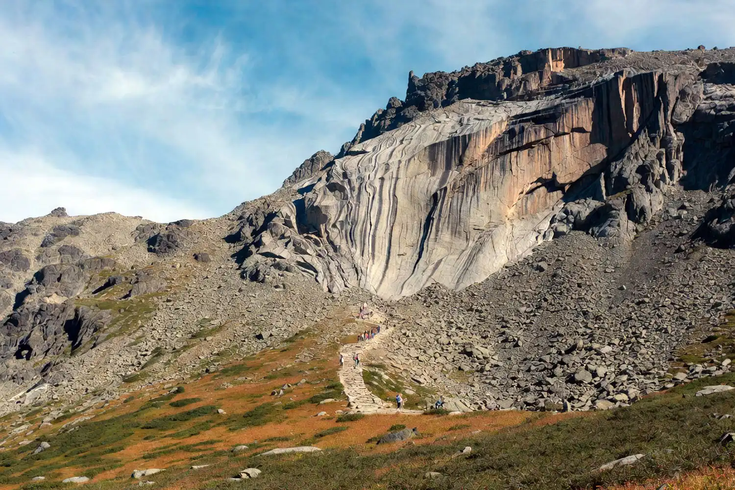
The Tuckerman Ravine Trail is the most popular path up Mt Washington. It runs roughly 4.2 miles to the summit with about 4,200 feet of elevation gain. Lower sections follow a rocky service road past Crystal Cascade and on to Hermit Lake, a shelter area at the base of the famous ravine bowl. Above Hermit Lake, the trail climbs the steep headwall over rebuilt rock steps, then emerges onto the summit cone. The last half mile is loose boulders. In spring and early summer, the headwall section often closes due to snow and ice. Check the Pinkham Notch board before you start.
Lion Head Trail
The Lion Head Trail splits off from Tuckerman and climbs around the north rim of the ravine. It covers about 4.1 miles to the summit with a similar 4,200 feet of gain. The grade is steep, but it stays out of the ravine bowl, which makes it the standard winter route up. From the Lion Head ridge, you get long open views down into Tuckerman.
Huntington Ravine Trail
The Huntington Ravine Trail is the hardest route on the mountain. It covers about 2.4 miles to the summit with around 2,700 feet of gain, and the upper sections involve sustained Class 3 scrambling. The AMC actively warns hikers against descending this trail. Use it for the ascent only, in dry conditions, and only if you’re comfortable with hands-on rock. Many hikers who try it end up turning around.
West-Side Trails (Base Road)
The Base Road runs off US Route 302 near Bretton Woods and ends at the Cog Railway. Two trails share the parking area here, and the starting elevation is about 500 feet higher than Pinkham Notch.
Ammonoosuc Ravine Trail
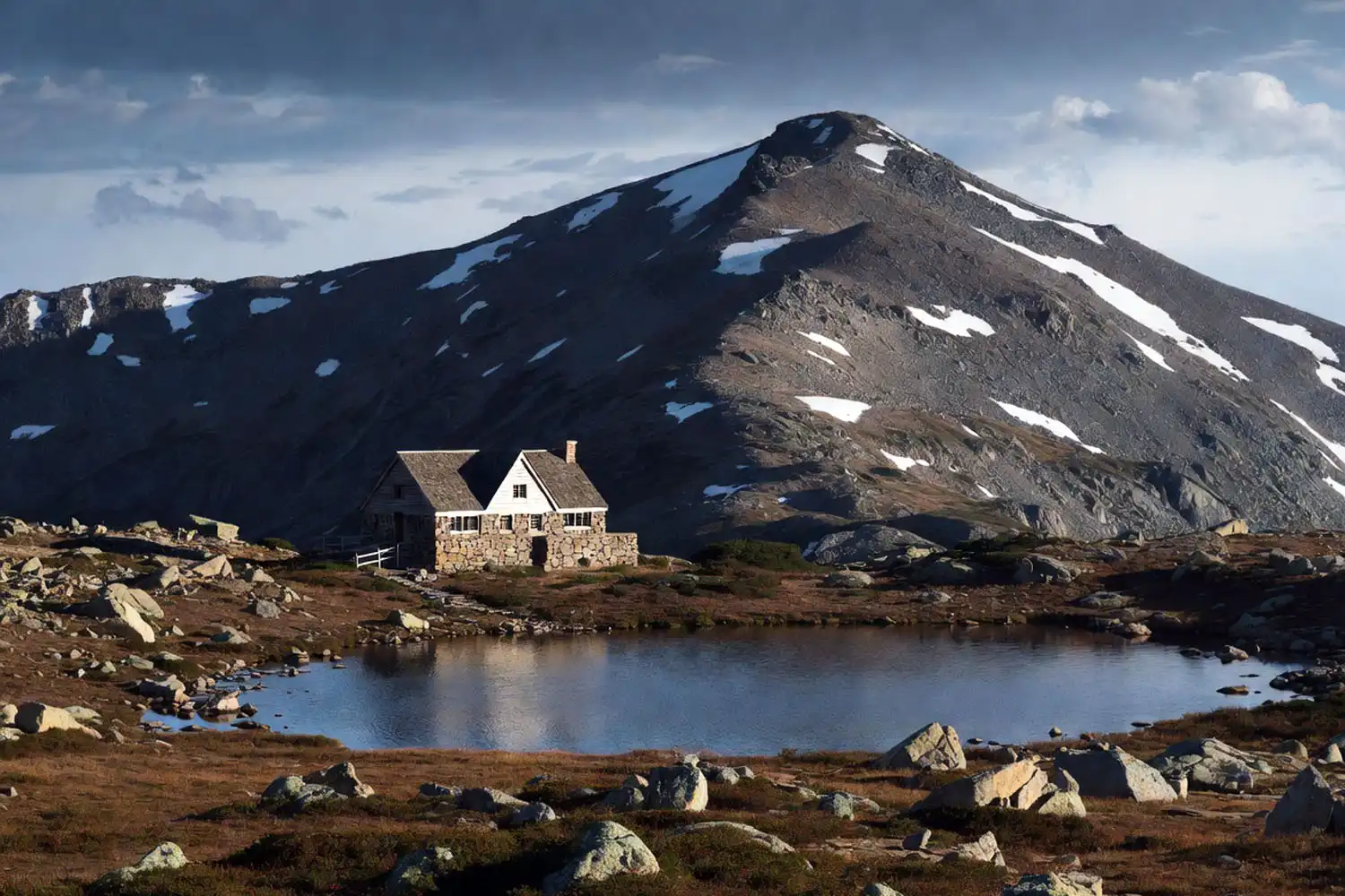
The Ammonoosuc Ravine Trail covers about 4.5 miles to the summit with roughly 3,800 feet of gain. It follows the Ammonoosuc River past several waterfalls, then climbs steep open ledges that often run wet. At 2.4 miles in, you reach Lakes of the Clouds Hut, an AMC-run shelter open from June through mid-September. From the hut, you join the Crawford Path for the final 1.5 miles to the summit.
Jewell Trail
The Jewell Trail is the gentlest grade up Mt Washington. It runs about 5.1 miles to the summit with around 3,900 feet of gain. Most of the climb stays inside the forest until you break out onto the ridge near Mount Clay, and then you follow the Gulfside Trail south to the summit. Many hikers go up the Ammonoosuc and down the Jewell to make a 9-to-10-mile loop, because the Jewell is far friendlier on the knees.
Longer and Southern Routes
A few trails connect from farther away. These are not first-time picks, but they help round out the full map.
Boott Spur Trail
The Boott Spur Trail leaves the Tuckerman Ravine Trail and climbs the southern rim of the ravine. It runs longer than the direct route, however the grade is steadier and the views down into the bowl are excellent. Many hikers pair it with Tuckerman to build a loop.
Crawford Path
The Crawford Path is the oldest continuously maintained mountain trail in the United States. It runs from Crawford Notch north along the southern Presidential ridgeline, over Mount Pierce, Eisenhower, and Monroe, and finishes on Mt Washington. The full path to the summit covers about 8 miles one way, so most people use it as part of a traverse or as the connector from Lakes of the Clouds Hut.
Great Gulf Trail
The Great Gulf Trail climbs Mt Washington from the north through one of the deepest glacial cirques in the Northeast. It covers about 7.9 miles with roughly 5,000 feet of gain. This is the longest and most committing single-route ascent on the whole mountain.
Best Loop Combinations
Loops save you from backtracking and give you fresh scenery on the descent. The two most common are:
- Ammonoosuc up, Jewell down. About 9.6 miles, 3,900 feet of gain. Gentle for the grade, scenic, friendly on the knees.
- Tuckerman up, Lion Head down (or reverse). About 8.4 miles, 4,200 feet of gain. Steep, with classic ravine views on both sides.
If you want to take pressure off the descent, also think about protecting your knees on a steep downhill. Most injuries on Mt Washington happen coming down, not going up.
Reading the Map: Landmarks to Spot
When you study a Mt Washington trail map, look for these key points:
- Hermit Lake. Shelters and toilets at the base of the Tuckerman bowl. A good turnaround if weather sours.
- Lakes of the Clouds Hut. AMC-run, sits at about 5,012 feet on the west side. Day-use water and food, plus overnight bunks by reservation.
- Alpine Garden. A flat alpine plateau between Tuckerman and Huntington Ravines. The crossover trail links several routes here.
- The Cog Railway tracks. A useful landmark on the Jewell Trail. If you can hear the train, you know roughly where you are.
Summit temperatures can drop 30 degrees from the trailhead, so plan to layer up against cold wind above treeline even in July. Sustained winds over 60 mph happen regularly on the cone, and the Mount Washington Observatory higher summits forecast is the one to check the morning of your hike.
How to Choose Your Trail
Pick by fitness, weather, and experience. The Jewell-Ammonoosuc loop is the most forgiving for first-timers. Tuckerman is a fair pick if you want the most direct line and can handle steep boulders. Lion Head is the winter standard. Huntington and Great Gulf are for hikers who already know the mountain and read conditions fast. About 4,000 feet of gain in a single day sits on the high end for most hikers, so build up first if you’ve never hit those numbers. The terrain above treeline reminds me of the upper trails in Bandarban, where everything changes once the trees thin out and the wind starts cutting through.
Weather and Safety Notes
Mt Washington has earned its reputation for fierce weather. Storms can roll in within an hour, and over 160 people have died on the mountain since recording began. Always carry an extra warm layer, rain shell, headlamp, map, and enough food for an unplanned night. Turn around if the wind, fog, or cold tells you to. The summit will still be there next week. If you’re new to long alpine days, also think through keeping a steady climbing pace on a tough route. The mountain rewards patience, not speed.
Conclusion
The Mt Washington trail map is busier than it looks at first glance, but the patterns are clear once you study it. East side starts from Pinkham Notch with Tuckerman, Lion Head, and Huntington. West side starts from Base Road with Ammonoosuc and Jewell. Longer routes link in from the south and north. Pick the route that matches your day, watch the weather, and respect the cone. The map gives you the plan, however the mountain decides how it goes.